Generate High Quality Cloud Map for XPlanet
I have really enjoyed my world map with realtime clouds. I use it as the background on my phone (updated hourly) and as the desktop on many of my computers as well.
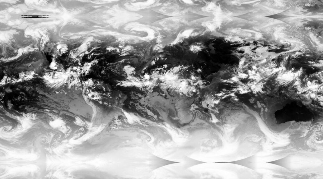
However, my initial instructions relied on a rather low resolution version of the cloud maps. Luckily I found the CreateCloudMap python library from @jmozmoz that uses images from the Dundee Receiving Station. The whole process is quite interesting. The ingested images are full disk images of the cloud cover taken from 6 different geostationary weather satellites. Those images are then projected onto a sphere, stiched together, and then projected back out as a Mercator projection.
The resulting cloud map can be updated every three hours (limited by the image time periods offered by Dundee). The cloud map is perfect and is much higher resolution than the prior version.
You do have to sign up for an account with Dundee, but it is free.
Update: This is a good description of how the library works.